“Do we need a drone permit?” compresses several independent approvals into one misleading question. A commercial Phoenix production may involve federal airspace authorization, permission from the property controlling the launch and crew area, a City of Phoenix Film and Digital Media Permit for qualifying public-property activity, park or preserve restrictions, venue rules, insurance, and a flight plan that remains inside Part 107. Each approval controls a different layer.
An FAA authorization does not allow a crew to occupy a roof. Property permission does not grant access to controlled airspace. A city film permit does not waive federal operating rules. A Part 107 certificate does not create a right to launch from a park. A venue email cannot approve an operation over an uncontrolled crowd. The reliable method is to map every controlling authority and close each layer before the creative plan becomes expensive to change.
This checklist is for producers, agencies, developers, event teams, property managers, and commercial clients. It is planning guidance, not legal advice, and it does not replace the remote pilot in command’s current review. Use it before promising an altitude, booking a public location, or scheduling talent around a flight that has not been verified. For address-level feasibility, send the location and scope through the Phoenix aerial production request form.
Map the exact operation, not just the subject address
Separate the subject, launch point, and camera path
A street address identifies what will be photographed, but it may not identify where the crew will stand or where the aircraft will travel. The same building could be covered from an owner-controlled parking lot, a managed rooftop, a neighboring parcel, or a public sidewalk. Those positions create different property permissions, obstacles, sight lines, pedestrian exposure, and airspace ceilings.
Mark the subject, proposed launch and landing zone, approximate aircraft area, crew footprint, and access route. Add requested altitude, direction of view, maximum lateral distance, time window, and any approach to a street, rail line, school, hospital, heliport, stadium, airport property, desert preserve, or event perimeter. “Downtown skyline shot” is not a feasibility plan. “Launch from the owner-controlled upper deck, remain above the parcel, and frame west at sunrise” can be reviewed.
The creative goal may survive even when the first path does not. A lower movement, controlled rooftop, longer lens, static panorama, or edited sequence of shorter passes may create the same impression. Discovering those alternatives before a firm promise preserves both the production and the compliance plan.
Check current Phoenix-area airspace
Commercial small-drone work generally operates under Part 107. The FAA’s airspace authorization guidance says remote pilots need a valid authorization for controlled-airspace operations and describes both LAANC and DroneZone paths. The requested location, altitude, date, and time matter. An approval can contain conditions that must be carried into the call sheet and field plan.
Phoenix Sky Harbor’s airspace shapes much of central Phoenix, but it is not the only aviation factor. Phoenix Deer Valley, Scottsdale Airport, Mesa Falcon Field, Phoenix-Mesa Gateway, Goodyear, Glendale Municipal, Luke Air Force Base activity, medical heliports, and emergency aviation can influence different parts of the Valley. Airport proximity is not accurately evaluated by a generic mileage circle. The remote pilot checks the current airspace class, facility-map ceiling, restrictions, and operational context at the exact point.
Treat downtown ceilings as creative constraints
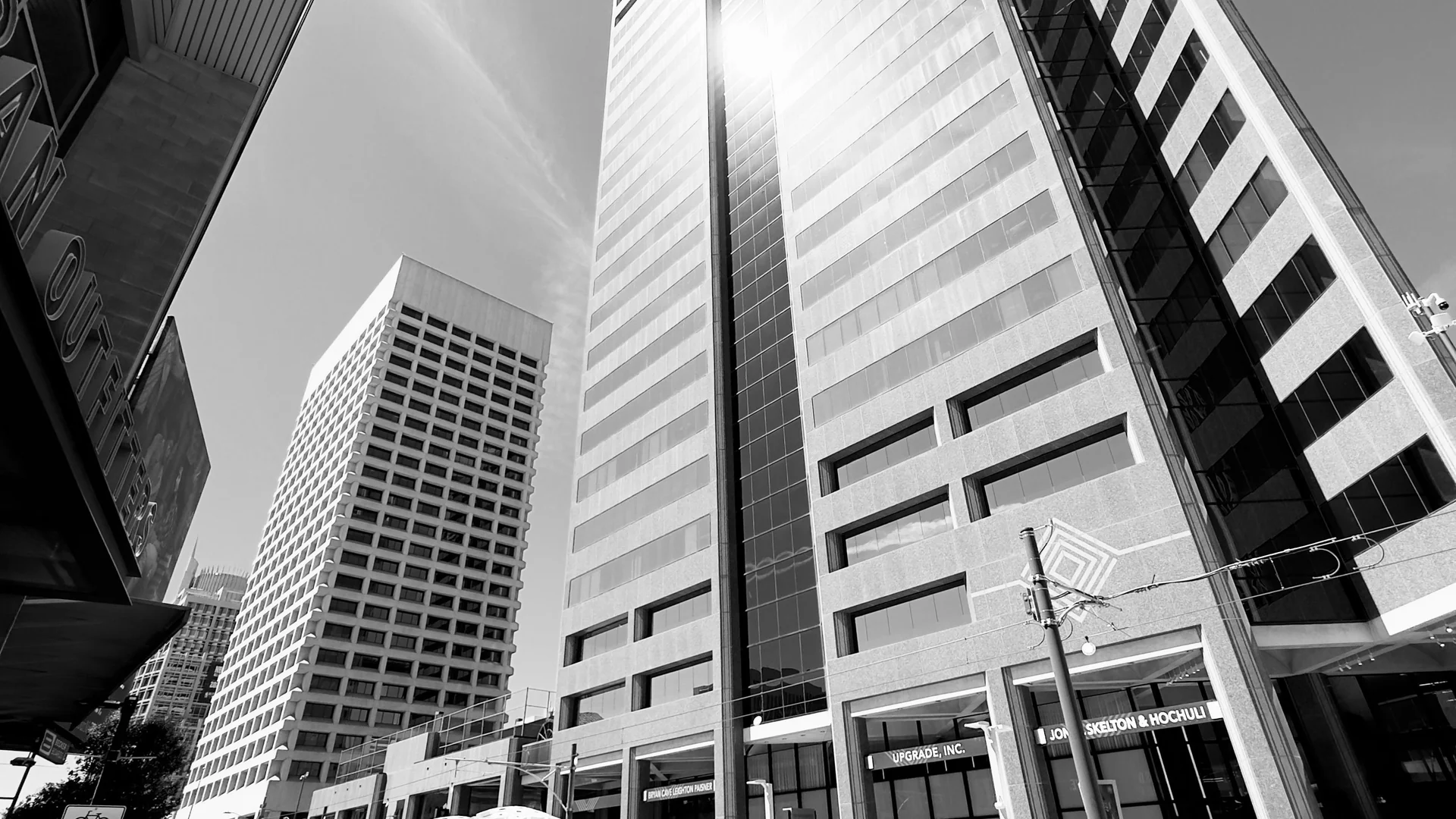
The Phoenix Film Office’s 2025 drone guidance warns that downtown sits on the western edge of Sky Harbor, that some downtown areas are no-fly zones, and that much of the remainder generally has a low ceiling. The document also advises checking manufacturer geofencing because downtown contains sensitive facilities. Those conditions should shape the storyboard before the team promises a high reveal.
A low facility-map value is not a cue to assume that a larger request will be approved. It may call for further coordination, a lower-altitude composition, a different operating point, a controlled elevated position, or no drone operation. The Phoenix cost and scoping guide explains why unverified altitude and access assumptions should remain explicit conditions in a proposal.
Verify the federal operating layer
Confirm pilot, aircraft, and authorization readiness
The remote pilot in command must hold the certification and current training required for the operation. The aircraft must be registered when required, marked, maintained, and compliant with applicable Remote ID rules. The crew should have access to the relevant certificate, registration, authorization, waiver, and aircraft documentation. A client’s deadline does not transfer those responsibilities to an app, producer, or property manager.
The FAA’s Part 107 overview addresses visual line of sight, preflight responsibility, operations over people, moving vehicles, altitude, visibility, night operations, and reporting. Production should be designed to avoid unnecessary rule complexity. A pre-opening exterior event pass from controlled property can be more feasible than an aerial move above peak attendance. A parcel-focused real-estate path can be safer and clearer than a broad orbit crossing traffic.
Aircraft choice is part of that plan. A smaller system may reduce noise and footprint. A larger camera may match a ground production but require more space and contingency. No aircraft selection overrides the airspace, property, crowd, weather, or visual-line-of-sight requirements.
Plan night operations and crew responsibilities
Phoenix often looks strongest at dawn, dusk, or after sunset, but light does not simplify the operation. Current Part 107 night requirements include appropriate remote-pilot training and anti-collision lighting visible for the specified distance. Controlled airspace still requires authorization covering the actual time. The pilot still needs to maintain visual contact, orientation, weather awareness, and a safe recovery path.
Name the remote pilot, visual observer when used, producer, property contact, and security or venue liaison. Define who controls the operating zone, who communicates with the client, who can stop a take, and how the crew handles an unexpected pedestrian, vehicle, helicopter, or emergency response. A visual observer needs a real field of responsibility, not just a title in a crew list.
Keep every pass observable
Requests to fly behind a building, mountain feature, grandstand, or dense landscaping can break visual line of sight. Solve the creative idea with separate observable passes, a new crew position, a longer lens, or editing. FPV imagery does not replace the required visual observation path. The operations plan should define where both the aircraft and its hazards can be seen throughout the movement.
Temporary restrictions and notices must be checked again on production day. Presidential travel, emergency response, wildfire, stadium activity, security events, or other conditions can change what is available. A screenshot captured during preproduction is not authority to ignore current information.
Secure property, city, park, and venue permission
Identify the party controlling the crew footprint
For private property, obtain permission from the owner or an authorized manager. Confirm exact areas, access hours, parking, roof or deck credentials, keys, escorts, security check-in, restrooms, power, guest or tenant notification, and restrictions on imagery. If the creative plan depends on a neighboring parcel, include that parcel rather than assuming the aircraft can bridge the gap.
Authority inside a complex property can be fragmented. A tenant may approve filming within its suite but not control the roof, facade, garage, plaza, or loading area. A broker may represent a listing but not hold the right to occupy adjacent land. A resort marketing contact may still need security, golf operations, guest services, and brand approval. A contractor may approve a project update while the owner controls publication.
The Phoenix real-estate drone service and Phoenix construction drone service provide appropriate starting points for site-specific coverage, but the assigned contact still must confirm current access and operating boundaries. Put the approved location and responsible person in writing.
Route public-property production through the Film Office
The City of Phoenix states that it does not issue a separate drone permit because it treats the drone as production equipment. If the production qualifies for a Phoenix Film and Digital Media Permit, that permit covers the production activity, while the pilot independently obtains required FAA authorization. That distinction is crucial: “no stand-alone drone permit” does not mean “no city process.”
Describe the complete production to the Film Office: crew count, equipment, parking, public-area occupancy, requested control, hours, sound, traffic impact, park or preserve location, and drone plan. The city can then identify the correct reviews and resources. A compact crew can still affect a sidewalk, trailhead, plaza, roadway, or park. Time on site does not convert public property into an ownerless launch area.
Do not generalize one municipal approval across the Valley
Phoenix, Scottsdale, Tempe, Mesa, Chandler, Glendale, Peoria, county parks, state parks, tribal communities, and federal land managers are separate jurisdictions. A Phoenix Film and Digital Media Permit does not authorize activity in Scottsdale. A Part 107 certificate does not supersede a land manager’s launch restriction. A property owner cannot authorize use of a neighboring public right-of-way.
Create one permissions line for every operating point and every authority. If a production spans several municipalities, the location manager or producer should own a jurisdiction matrix with contacts, submissions, dates, conditions, and proof of approval.
Treat parks and preserves as restricted, not assumed
City guidance says drones are restricted in the majority of Phoenix’s parks under City Code section 24-49. Some qualifying permitted productions may be considered for limited exceptions at identified areas in Papago Park, South Mountain, or other sites on a case-by-case basis, often with additional resources. That is a review path, not a standing entitlement.
The city has designated certain locations for radio-controlled aircraft or drones, including Dynamite Park, but the page still requires compliance with Phoenix code and state and federal rules. Commercial filming can bring a different property-use question than individual recreational flight. Confirm the current rule and production permission rather than treating a recreational designation as blanket commercial access.
Arizona State Parks, Maricopa County parks, national parks, national forests, Bureau of Land Management parcels, tribal land, and private conservation areas can all produce different answers. Identify the land manager from a reliable map and ask that authority about launch, landing, filming, occupancy, and commercial-use requirements.
Build a shot plan that can be approved
Translate ideas into specific operational passes
For every shot, identify subject, purpose, start position, end position, approximate altitude, direction, speed, and a lower-risk alternative. “Orbit the resort” is vague. “Complete a slow partial arc over the owner-controlled service area, keeping the pool deck outside the aircraft path and revealing the mountain backdrop” can be assessed. Rank views as essential, useful, and optional.
Lens and edit choices can reduce operating complexity. A longer focal length from a controlled location may compress downtown or Camelback Mountain into the background without moving toward a restricted area. A static panorama may explain a commercial site better than a large orbit. Separate passes can be connected in post while remaining observable and inside the approved property area.
The Phoenix event aerial service needs a time-based plan as well as a map. Capture empty-venue geography, stage and ingress context, sponsor installations, sunset atmosphere, and audience energy in different windows. The remote pilot must not be given a single instruction to “get the crowd” without a compliant people, vehicle, security, and venue strategy.
Define alternates and stop conditions
Give every essential view an alternative: lower altitude, different direction, controlled roof, ground camera, later date, or edited substitute. If authorization limits a downtown rise, a roof-level slide or telephoto ground image may preserve the visual relationship. If a park exception is unavailable, an owner-controlled property with a similar desert background may support the story. If event attendance prevents a path, pre-opening coverage can still establish scale.
Record stop conditions before arrival. Examples include loss of a controlled operating area, an unauthorized person entering the zone, unexpected manned aircraft, dust reducing visibility, sustained or gusting wind beyond the planned margin, lightning, degraded command link, battery temperature, or a client request outside the approved area. The remote pilot in command makes the flight decision.
Make weather a permission dependency
Airspace and property approval do not make unsafe conditions acceptable. Phoenix heat can affect crew endurance, electronics, batteries, and schedule. Monsoon outflows can arrive before visible rain. Dust can remove visual contact and contaminate equipment. The National Weather Service’s monsoon safety page describes dust storms, damaging winds, lightning, hail, flash flooding, and extreme heat as related hazards.
Use a forecast review, on-site observations, current alerts, aircraft limitations, and a written backup window. Do not let a permit expiration or venue fee become pressure to launch. Approval defines what may be attempted; field conditions determine what can be completed safely.
Close the production and document the decision trail
Put conditions into the call sheet
The call sheet or operating brief should list the exact address and coordinates, controlling property, approved crew area, authorization identifier and conditions, permit or location agreement, crew roles, communication method, requested altitude, essential passes, public or guest controls, weather check times, emergency contacts, and alternate plan. Store source documents where the remote pilot and producer can reach them.
Insurance certificates, additional-insured requirements, vendor onboarding, and site safety paperwork may have their own deadlines. They are not airspace approval, but they can determine whether the crew is allowed onto the property. Confirm policy language with the broker rather than promising a certificate form that has not been reviewed.
The remote pilot should conduct a fresh preflight on every visit. A recurring construction path, previously approved rooftop, or familiar venue does not eliminate changed cranes, traffic, people, temporary restrictions, RF conditions, or weather. A saved route is a production aid, not a standing permission.
Preserve approvals, versions, and releases
Keep the final authorization, permit, property permission, call sheet, site map, certificate, and any venue conditions with the project record. Preserve the version that was actually used rather than an early draft with a different altitude or time. If a condition changes, document who approved it and how the plan changed.
Media permissions continue after landing. Identify who can receive source files, whether recognizable people need releases, how venue marks and artwork are treated, whether the client prohibits portfolio use, and how long the provider retains footage. A flight may be legal while a proposed commercial use still requires a separate clearance.
Use one owner for the approval matrix
Assign a producer, location manager, or project lead to maintain the matrix. The remote pilot owns the aviation decision, but that person should not be expected to negotiate every municipal, venue, traffic, talent, and brand permission without project support. One shared record prevents different team members from assuming that another person closed a dependency.
Use a final go/no-go review
Before releasing the crew, confirm: the exact operating point; current airspace; authorization and conditions; property authority; public-property permit when applicable; park, venue, airport, campus, or land-manager approval; pilot and aircraft readiness; Remote ID; crew roles; people and vehicle plan; weather; stop conditions; insurance; file-use restrictions; and alternates. Any unresolved essential item remains an explicit hold.
The related Phoenix pricing guide can be used to carry this approval work into a comparable scope and budget. If a location, altitude, or permission remains uncertain, the quote should say so instead of quietly treating the best-case outcome as guaranteed.
Phoenix drone production becomes manageable when the team stops searching for one universal permit and starts identifying the authority behind every layer. Federal authorization, land control, municipal process, park or venue rules, crew operations, and media rights work together. Verify them early, design alternatives, and give the remote pilot room to make the final safety decision. For a location-specific review, submit the addresses, dates, shot goals, and access details through the Phoenix project form.
Audit the approval packet from the field backward
Before calling the packet complete, begin with each planned takeoff area and work backward through the authority chain. Ask who controls the exact ground footprint at the scheduled time, who can grant access, what operational limits apply there, and which document or written confirmation supports the answer. Repeat the exercise for any roof, parking lot, construction zone, venue perimeter, sidewalk, road closure, park, preserve, campus, or neighboring parcel the crew may use. A general property email is not enough if the sender does not control the operating area.
Next, compare the planned flight geometry with the current federal record. Confirm the operating coordinates, approved area, altitude, date, time, aircraft, and any authorization conditions. Check for current temporary flight restrictions, stadium timing, nearby emergency activity, and changes to the creative path. A low-altitude authorization does not become a higher one because the director wants a wider reveal, and an authorization for one point should not be assumed to cover a second location across a large property.
Review the people and vehicle plan using the actual schedule rather than an empty-site assumption. Mark public arrival, crew call, deliveries, guest movement, construction shifts, school activity, road use, and venue ingress. Identify which passes are only available before occupation, which require a controlled area, and which have a ground-camera substitute. Name the site authority who can hold the operation if the controlled area fails.
Then check production permissions and representations. If the City of Phoenix Film Office, a park authority, another municipality, a venue, or a property manager issued conditions, place those conditions beside the relevant shot rather than burying them in an attachment. Confirm insurance certificates, additional-insured requests, police or traffic requirements, public notices, parking, and restoration obligations when applicable. Do not infer that a city filming document modifies FAA rules or that FAA authorization grants municipal occupancy.
Finish by testing the packet without its original author. A producer, coordinator, or replacement crew member should be able to identify the current approved plan, expiration or timing, responsible contacts, stop conditions, alternate views, and document locations. Archive superseded drafts separately and mark them clearly. The objective is not a large folder; it is a decision trail that remains understandable under schedule pressure and after the production closes.
Add one final reconciliation line for every essential shot: approved as designed, approved with conditions, replaced by an alternate, or on hold. Assign the unresolved item to a named person and deadline. That prevents a conditional creative request from being described to the client as a guaranteed deliverable and gives production a clean basis for release, rescheduling, or substitution.